ClimateSERV 2.0
Data and tools for sustainable development
Data and tools for sustainable development
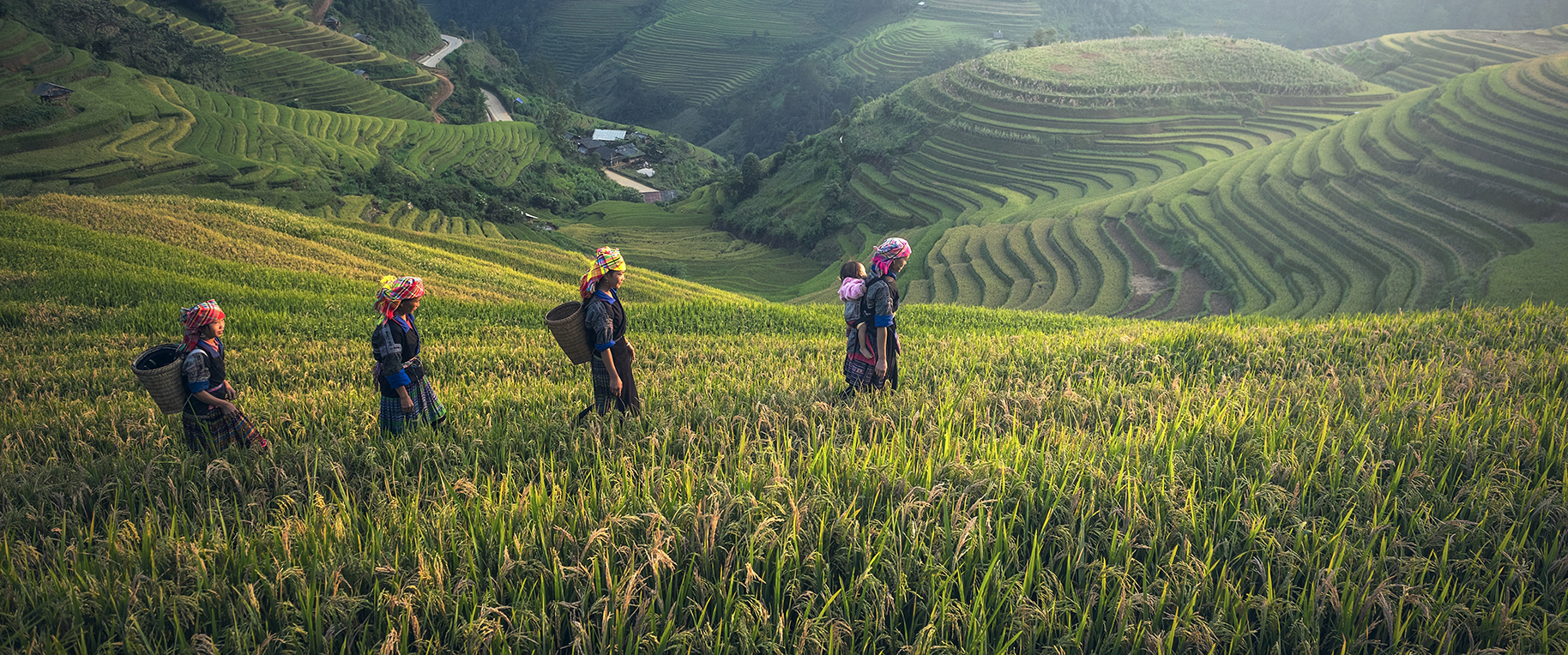
ClimateSERV enables users to easily visualize and download 180-day rainfall and temperature forecasts, as well as historic rainfall and vegetation conditions. Whether you’re a development practitioner, scientist, or another type of decision-maker, ClimateSERV can provide critical information for applications ranging from agriculture to water availability.
ClimateSERV has a wide variety of climate and vegetation datasets to help you build your dissertation or thesis. Whether you study agriculture, ecosystem conservation, or meteorology, ClimateSERV provides an easy-to-use one-stop shop for your data needs. Our website also contains a Help Center to answer your data questions and help bring your research to the next level.
As a student | As an analyst | As a decision-maker
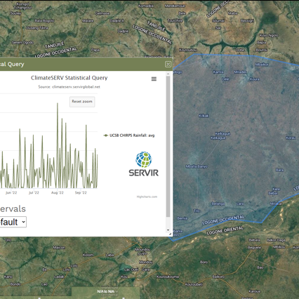
ClimateSERV allows you to conduct on-demand comparative analyses in-browser to help you visualize your data. Our site allows you to customize your area of interest and time scale to build custom tables and charts for your project. We make it easy to download charts, summary data tables, and full dataset.
As a student | As an analyst | As a decision-maker
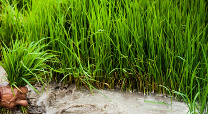
Let ClimateSERV take some of the difficulty out of agricultural decision-making. ClimateSERV’s deep rainfall data archive can be used to predict drought severity and potential crop yield impact, as well as many more applications. By placing an evolving dryer-than-normal season in its appropriate historical context, the severity of rainfall deficits can be evaluated. ClimateSERV allows you to instantly narrow statistical calculations to a specified area of interest and time period: providing near-real time and historical data at a moment’s notice.
As a student | As an analyst | As a decision-maker